Guest on 2D Is Against My Religion
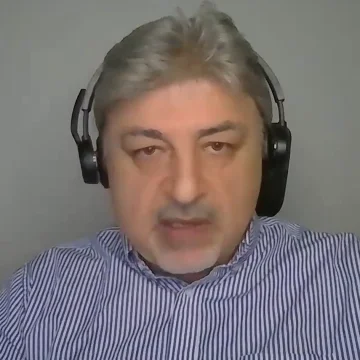
Mehdi Boroumand
Business Development Manager, Reality Capture, AptellaAt the time of the episode: SLAM scanning practitioner, Australia
LinkedIn ↗Mehdi Boroumand works in reality capture in Australia. On 2DIAMR, Mehdi Boroumand showed real projects combining drone photogrammetry with SLAM scanning – scan-to-BIM, bridges, forestry, an industrial plant and a cave.
Episode
 1 h 48 min
Podcast
The one-button SLAM scanner myth – real-world use cases with FJ Dynamics
Zlata Karpushina, Mehdi Boroumand · FJ Dynamics
In Mehdi’s words
“If you just deliver the point cloud, most of the clients, I can tell you now, they're hating the point cloud because it's like a nightmare for them.”
Quoted in our tech guides
Scan-to-BIM: from point cloud to Revit model – what 7 practitioners say →
- “Most of the clients, I can tell you now, that they hate, they're hating the point cloud because it's like a nightmare for them because they just simply get lost.”▶ 47:20
SLAM vs terrestrial laser scanning: what 8 practitioners say →
- “At least five GCPs are required as minimum, and then you can do the geo-referencing.”▶ 51:22
Questions Mehdi answered
- Can SLAM scans be merged without ground control points?
- Per Mehdi Boroumand, FJD’s processing software merges overlapping scans with cloud-to-cloud registration, but that only aligns them relative to each other; placing them in real-world coordinates needs GCPs (at least five, in Mehdi’s practice) or an RTK/PPK antenna. ▶ 52:05
Talks about
Related guests
- Zlata Karpushina – Go-To-Market Strategist, FJ Dynamics
- Michael Schoelkopf – Director, Product Management Reality Capture, NavVis
- Ben Williams – COO, Exyn Technologies
- Dylan Gorman – Drone mapping, PilotByte Labs
- Rami Tamimi – Geomatics project manager and Ph.D. candidate, WSP
- Barry Bassnett – Digital twin practitioner, author of Tower of Twins