Scan-to-BIM: from point cloud to Revit model – what 7 practitioners say
Built from 6 2DIAMR conversations · updated 10 Oct 2026
Short answer
Capture is no longer the slow part – registration and modelling are. The guests advise matching the level of detail and the scanner to the deliverable (LOD 200 for floor plans and area work, LOD 300 needs higher-end devices), modelling in 2D views on slices of the point cloud rather than loading the whole cloud, checking every model against the scan – especially outsourced ones – and delivering what the client can use: clean 2D or Revit models plus a virtual tour, not a raw point cloud. Nobody on the show claims fully automatic point-cloud-to-BIM works yet.
At a glance
Typical use (per guests)
LOD 200: Floor plans, area referencing, quantity surveys, simple scan-to-BIM and scan-to-CAD
LOD 300: Detailed as-built models where element geometry matters
Capture
LOD 200: Compact handheld SLAM is usually enough (per Michael Schoelkopf, NavVis)
LOD 300: Larger mobile or terrestrial scanners with better data quality
Accuracy
LOD 200: Centimetre level is fine – walls are never perfectly flat anyway
LOD 300: Higher; terrestrial scanning for millimetre-level, controlled work
Risk
LOD 200: Over-specifying wastes time and budget
LOD 300: Under-capturing means going back to site
Where the time goes
Scanning keeps getting faster, but per Povilas Sindriūnas of Undet the biggest share of time is spent registering point clouds and turning them into usable deliverables – a BIM model or a set of 2D drawings. Michael Schoelkopf of NavVis says the same from the hardware side: capture is often only the first step, and modelling takes much longer.
Mehdi Boroumand, who scans with SLAM and drones in Australia, calls the capture “just the beginning of the journey”. Povilas Sindriūnas adds that the data is often clean and well registered – the waste is in how people handle large datasets in software.
“The biggest amount of time is spent in registering point clouds and then turning them into usable assets, be it a BIM model or a set of 2D drawings.”
“So often reality capture is only the first step, but modeling on this data is something that takes much, much more time.”
Choose the level of detail – and the scanner – first
Michael Schoelkopf matches devices to LOD: a compact handheld SLAM scanner for LOD 200 work such as floor plans and area referencing, the larger devices for LOD 300 – where the compact one is not the right tool. A floor plan for an apartment listing doesn’t need millimetres; it needs to be current.
Zlata Karpushina of FJ Dynamics says the first question is what accuracy the client actually needs, with terrestrial scanners still the choice for very high accuracy and controlled work. Dylan Gorman gives a practical example: a client who only needed the real floor area of a hangar got a quick scan and a model at a sufficient level of detail – no centimetre survey required.
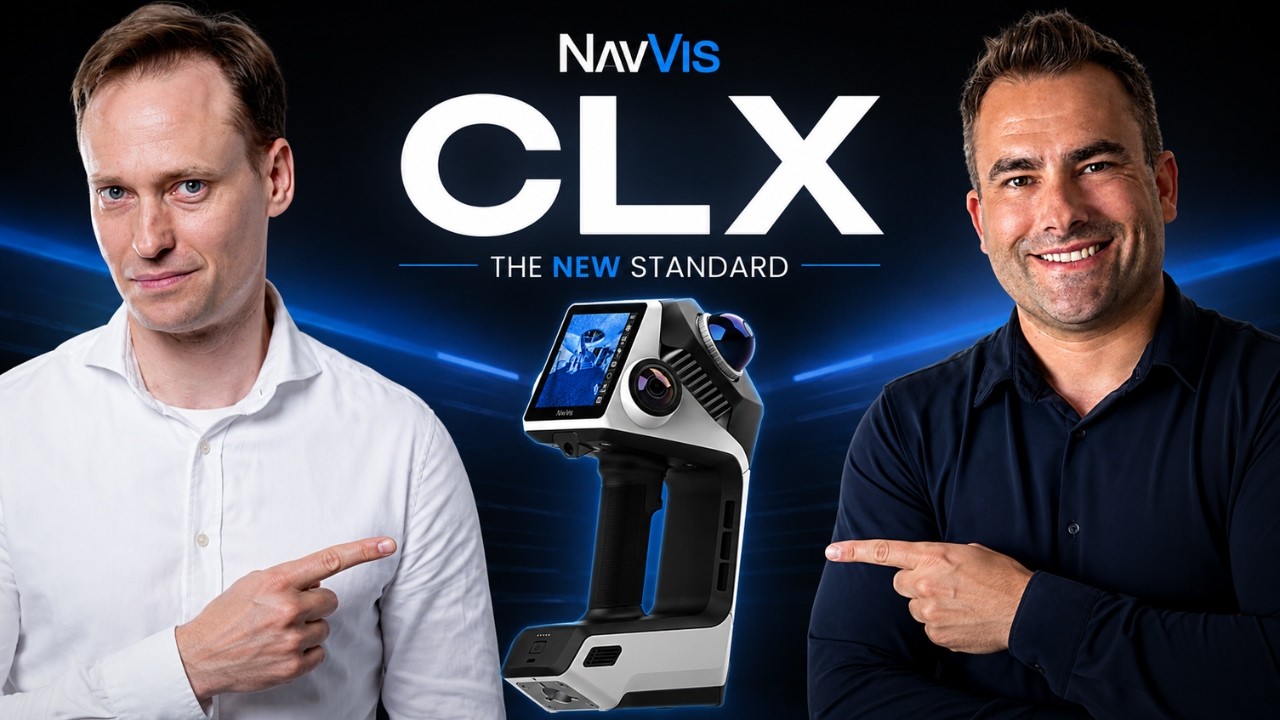
“That is for LOD 300. For LOD 200 work, the CLX is the best device for that.”
“You need to understand what extent of accuracy the client needs.”
“Scan it, done. Send it to our BIM team, done. That's it.”
Modelling in Revit from a point cloud
Povilas Sindriūnas describes Undet’s workflow (a vendor’s method, but a clear one): don’t load the whole RCP file into Revit or AutoCAD; slice the cloud for the view you are drawing and work in 2D views – floor plan first for walls, then elevations for doors and windows. Undet references those slices as raster images weighing kilobytes, while the point cloud itself stays unchanged.
Walls are drawn with three clicks on the cloud (start, end, thickness), openings with two – and because scans produce odd dimensions, you decide whether a window snaps to an existing type or creates a new one. Povilas Sindriūnas’s philosophy is to work inside the tools modellers already use rather than a new platform; NavVis and NIRA, by contrast, offer platforms to view models next to the scan.
“You don't want to deal with the entire RCP file in Revit or AutoCAD, let's say, and we have tools that help you slice up the point cloud.”
“Ideally, you would be working in a 2D view, let's say a floor plan.”
“We have to come and meet them where they are, because we're not Autodesk, and we're not going to be.”
Garbage in: SLAM noise, drift and double walls
SLAM data brings its own modelling problems. Michael Schoelkopf explains that combining datasets with a little drift in each produces double walls, and that the best SLAM data is captured within about one to five metres. Zlata Karpushina lists the conditions that still cause drift and misalignment – long corridors, repetitive spaces, glass, open areas, poor capture routes – and Dylan Gorman attributes drift mostly to the algorithms rather than the sensor.
For the BIM team, Zlata Karpushina says, the real pain is messy input; nobody wants to spend days cleaning data before modelling can start. No guest described exactly how to model a thick, noisy SLAM wall – a gap worth knowing about before you promise LOD 300 from handheld data.
“If you have multiple data sets, you will see because of a little bit of drift in both of them that you have double walls.”
“If you have long corridors, repetitive spaces, glass, reflective surfaces, open areas, and poor capture methods, it can still create drift and misalignment.”
Check the model against the scan – especially when outsourcing
Per Povilas Sindriūnas, many European firms outsource modelling to Asia and the results are not always satisfactory – the problem is less the expectations than the standards beneath them, which buyers often don’t see until it’s too late. Undet’s answer is overlaying the Revit model on the point cloud with tolerances, so missing or wrong elements show up in colour (Undet also sells its own modelling services, so read this as the company’s view).
Platforms offer similar checks: Michael Schoelkopf describes importing the model back into NavVis IVION to compare it with reality. Upstream, Rami Tamimi reminds that control points are themselves a way to validate the data before anyone models on it.
“What is beneath expectations are the standards.”
“Basically the software overlays your Revit model with the point cloud, and based on your parameters, you can tell how well something has been modeled.”
“You can import the models back to IVION. You can see how model and reality compares.”
What clients really want delivered
Mehdi Boroumand is clear that most clients hate raw point clouds – they get lost in them – and want clean 2D or 3D deliverables, with a high-resolution virtual tour alongside. Povilas Sindriūnas notes that simple 2D CAD drawings are still a big part of the work. Zlata Karpushina describes the architect’s nightmare: designing a renovation from old drawings and discovering the real building disagrees.
Later in the building’s life the picture changes. Barry Bassnett says facility managers aren’t interested in a Revit model and that BIM handover documents are hard to use; Kelly Watt points out that a BIM model is a human interpretation, while a scan is a record – and that handover data only happens if the owner requires it.
“Most of the clients, I can tell you now, that they hate, they're hating the point cloud because it's like a nightmare for them because they just simply get lost.”
“But you can use AI to look at the things that are important to the facilities manager, because the facilities manager isn't interested in a Revit model.”
“A BIM model has got a human deciding what to model, what not to model, what to attribute, what not to attribute.”
Automation and AI: not there yet
The automation available today is assisted modelling: per Povilas Sindriūnas, Undet has tools for walls, openings, floors and ceilings, but the modeller still clicks on the cloud. Fully automatic AI extraction is, in Povilas Sindriūnas’s words, an adventurous roadmap Undet leaves to startups; its own next steps are SLAM data handling and MEP extraction.
Barry Bassnett uses AI daily – but for sorting images and handover documents, not for pulling walls out of a cloud. No guest demonstrated a working fully automatic point-cloud-to-BIM tool.
“The easy way out is less of a philosophy at Undet.”
“I think AI is a fabulous tool. I use it pretty well every day in my image processing, and certainly in helping me sort through big lumps of information.”
Questions
- What is scan-to-BIM?
- Turning a laser or SLAM scan of an existing building into a BIM model (e.g. in Revit) or 2D drawings. Per Povilas Sindriūnas (Undet) and Michael Schoelkopf (NavVis), the modelling – not the scanning – takes most of the time.
- What LOD do I need for scan-to-BIM?
- Per Michael Schoelkopf (NavVis), LOD 200 covers floor plans, area referencing and quantity surveys and can be captured with a compact SLAM scanner; LOD 300 needs higher-end devices.
- How do you work with a large point cloud in Revit?
- Povilas Sindriūnas (Undet) recommends not loading the whole RCP file: slice the cloud for each view, model in 2D views, and reference the slices as lightweight raster images.
- Can AI automatically convert a point cloud to a Revit model?
- Not reliably yet, according to the guests: Undet offers assisted tools for walls and openings but leaves fully automatic AI extraction to startups, and no guest showed a working automatic tool.
Every statement above comes from what guests said on 2DIAMR, attributed to them – these are their experiences and opinions, not 2DIAMR’s own measurements.