
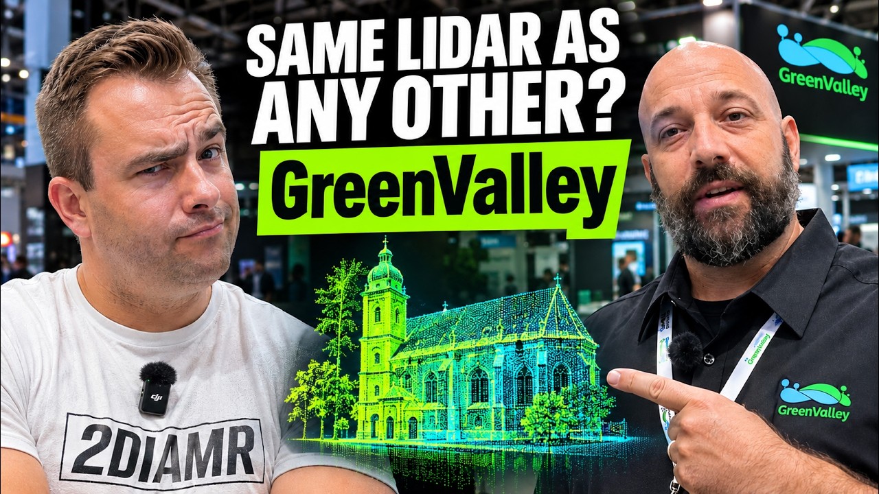
Cody McColl works at GreenValley International (GVI), maker of the LiDAR360 software and LiGrip SLAM scanners. At INTERGEO 2026, Cody McColl presented the LiCam spatial camera, the LiGrip O2 Pro and the agentic AI assistant in LiDAR360 MLS version 10.
Episode
 17 min
In-booth interview
LiCam, LiGrip O2 Pro and an AI agent in the software – Cody McColl, GreenValley International
Cody McColl · GreenValley International
In Cody’s words
“So I would say that the magic is purely in the software. These are just the hammer.”
“Traditionally a 3DGS model was really just a viewer, right? Like, you have an ability to fly through.”
“We want to be able to see from five meters away a writing that's around one centimeter.”
“Producing a sub-centimeter accuracy point cloud has been the industry's request for at least five years.”
“It actually generates an error question. It says that it feels that it's not correct.”
Questions Cody answered
- What is the GreenValley LiCam?
- According to Cody McColl, LiCam is a spatial camera with three cameras and a LiDAR sensor, designed for 3D Gaussian splatting; an RTK GNSS receiver can be attached over USB-C, and Cody gives about two centimeters of accuracy, reliable up to about 40 meters. ▶ 1:23
- How accurate is the GreenValley LiGrip O2 Pro?
- Cody McColl says the O2 Pro offers 0.5 cm relative accuracy – sub-centimeter – from new algorithms and a higher-grade IMU, and its three one-inch Sony CMOS sensors give sharper point clouds and Gaussian splats in low light. ▶ 4:09
- Can you edit and merge Gaussian splats in LiDAR360 MLS?
- According to Cody McColl, LiDAR360 MLS can edit, segment and classify Gaussian splat data and merge aerial and terrestrial splats automatically, cloud to cloud based on pose, without targets. ▶ 7:11
- What does the AI assistant in LiDAR360 MLS version 10 do?
- Cody McColl says it runs tasks from natural-language prompts – for example segmenting a point cloud and reporting DBH, crown area and crown volume – on GVI’s own LLM, and asks for manual review when it is not sure of a result. ▶ 9:34
- Can SLAM scanners reach terrestrial laser scanner accuracy?
- Cody McColl says GVI wants to see how far below a centimeter SLAM can go and possibly target the terrestrial scanner market; Michal Gula doubts SLAM can match TLS and asks whether most SLAM buyers need millimeter accuracy at all. ▶ 12:07
Talks about
Related guests
- Michael Schoelkopf – Director, Product Management Reality Capture, NavVis
- Aden Zhang – Sales Director, Asia Pacific, XGRIDS
- Bilawal Sidhu – Creator, spatial computing and AI
- Zlata Karpushina – Go-To-Market Strategist, FJ Dynamics
- Mehdi Boroumand – SLAM scanning practitioner, Australia
- Arek Szadkowski – Global Lead, ArcGIS Reality, Esri