
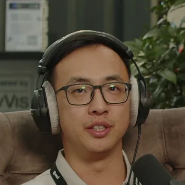
Guest on 2D Is Against My Religion
Aden Zhang
Sales Director, Asia Pacific, XGRIDS
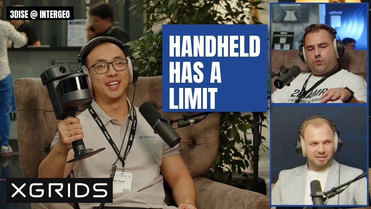
Aden Zhang leads sales for the Asia Pacific region at XGRIDS, has a survey background and joined XGRIDS four years before INTERGEO 2026 after working at Green Valley. Recorded live at INTERGEO 2026, Aden Zhang presented the XGRIDS L3 handheld SLAM scanner and explained why XGRIDS tells clients SLAM will never replace terrestrial scanning.
Episode
 24 min
Expo & conference podcast
SLAM will never replace terrestrial scanning – Aden Zhang, XGRIDS
Aden Zhang · XGRIDS
In Aden’s words
“SLAM is never going to replace terrestrial. We know that in our bones.”
“Gaussian splatting is not for your cadastral survey.”
“People buy this thing, and they go and scan 80 minutes in with no overlap.”
“We realized that we've made a pretty big mistake there.”
“For us it's not about the megapixels anymore.”
Quoted in our tech guides
Gaussian splatting vs photogrammetry: what 18 practitioners say →
- “Gaussian splatting is not for your cadastral survey.”▶ 10:30
Questions Aden answered
- Will SLAM replace terrestrial laser scanning?
- No, according to Aden Zhang of XGRIDS: systematic error makes it impossible, so XGRIDS positions SLAM as close as possible in a justified range, with terrestrial scanning for points of interest. ▶ 11:38
- Should a beginner buy a SLAM scanner?
- According to Aden Zhang, SLAM takes basic training: newcomers who scan 80 minutes without overlap or loop closures get poor accuracy, while experienced terrestrial users usually get it right. ▶ 13:02
- Is Gaussian splatting accurate enough for surveying?
- Not for cadastral survey, according to Aden Zhang; XGRIDS aims Gaussian splatting at reality capture, progress management, site documentation and multi-team collaboration. ▶ 10:05
- What is the difference between 16 and 32 channel LiDAR?
- According to Aden Zhang, the 32 channel version doubles the point density of the 16 channel one; the accuracy is basically the same. ▶ 18:38
- Is XGRIDS LCC free?
- Yes, according to Aden Zhang: LCC used to be paid and more closed, and XGRIDS has since opened the data formats and made it free. ▶ 21:21
Talks about
Related guests
- Michael Schoelkopf – Director, Product Management Reality Capture, NavVis
- John Chwalibog – Director of Strategic Partnerships, Manifold Tech
- Fan Yang – Chief Operating Officer and Director of International Business, Manifold Tech
- Tobias Böhret – Product marketing, FARO INSIGHT
- Dylan Gorman – Drone mapping, PilotByte Labs
- Rami Tamimi – Geomatics project manager and Ph.D. candidate, WSP