

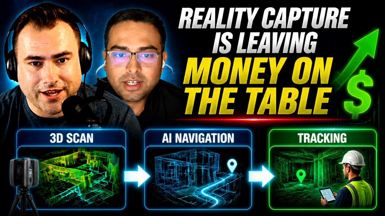
Nikhil Sawlani is the founder of MultiSet AI, a visual positioning system that turns existing 3D scans into indoor navigation and tracking. On 2DIAMR, Nikhil Sawlani explained how scanning companies can reuse scans they have already made.
Episode
 1 h 21 min
Podcast
From 3D scans to indoor navigation and tracking – Nikhil Sawlani, MultiSet AI
Nikhil Sawlani · MultiSet AI
In Nikhil’s words
“If you're just creating a scan and just leaving it out there without adding more value, you are leaving money on the table.”
“A digital twin, according to me, is a live representation of any physical space.”
“You can just have one source of truth, like one 3D scan, and with MultiSet you can share it across with robots, with humans, with devices that are sharing the same physical space.”
Quoted in our tech guides
Gaussian splatting vs photogrammetry: what 10 practitioners say →
- “Is your Gaussian splat one-on-one with the real world? Which means if you measure a window in your Gaussian splat, does it actually have the real dimensions of the real world?”▶ 72:30
How to sell 3D scanning and digital twins to clients: what 11 practitioners say →
- “And now you can basically go and upsell them, 'Hey, I can do a navigation link for you, which means I will come. I already have the 3D scan.'”▶ 54:22
Is a 3D scan a digital twin? What 9 practitioners say →
- “A digital twin, according to me, is a live representation of any physical space, and it should unlock more value than just being a 3D representation.”▶ 2:26
Questions Nikhil answered
- What is a visual positioning system (VPS)?
- Per Nikhil Sawlani of MultiSet AI, a VPS works like a far more accurate GPS: instead of satellites, it uses a device’s camera to match what it sees against a database built from a 3D scan and returns both position and rotation (6DoF). ▶ 7:12
- Why doesn’t GPS work well indoors?
- Nikhil Sawlani explains that indoors the satellite signals bounce off walls and other obstacles instead of arriving directly, so accuracy drops from three to five meters outdoors to 30–40 meters or worse, and telling which floor you are on gets even harder. ▶ 9:48
- Does visual positioning still work when a space changes or gets crowded?
- Per Nikhil Sawlani, MultiSet’s deep-learning models ignore people and favour static features, so localization can still work when only 10–20% of the area matches, with lower accuracy; after a complete change, a new scan is added through map versioning. ▶ 31:31
- What is the difference between a VPS and AR anchors?
- Nikhil Sawlani says AR anchors typically work at room scale, while a VPS like MultiSet is designed for spaces of hundreds of thousands or even millions of square feet, such as factory floors. ▶ 36:02
- Can multiple robots share one 3D map for navigation?
- Per Nikhil Sawlani, instead of every robot creating its own point cloud on its first run, MultiSet lets robots, people and devices in the same space localize against one existing 3D scan as a single source of truth. ▶ 73:11
Talks about
Related guests
- Bilawal Sidhu – Creator, spatial computing and AI
- Arek Szadkowski – Global Lead, ArcGIS Reality, Esri
- Olli Huttunen – 3D Gaussian Splatting creator
- Barry Bassnett – Digital twin practitioner, author of Tower of Twins
- Zlata Karpushina – Go-To-Market Strategist, FJ Dynamics
- Mehdi Boroumand – SLAM scanning practitioner, Australia